Food and Drink
Satisfy your taste buds at Eddington
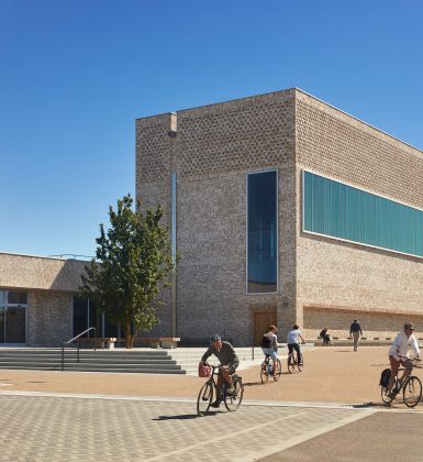
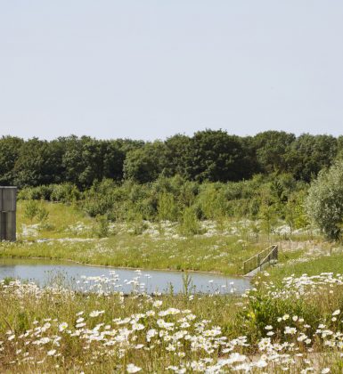
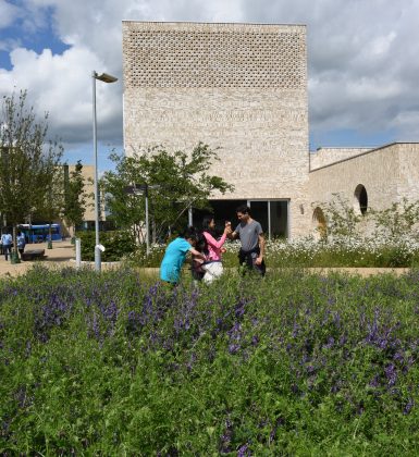
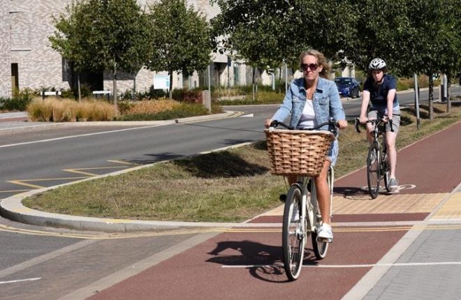
Designed for twenty-first century sustainable living, Eddington has everything you need to live, work and play, close to Cambridge.
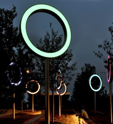
Cultural events, community gatherings chance meetings and much more can be found at Eddington. It’s a neighbourhood ready to be explored.
Location
Plan your trip to Eddington
Eddington is just two miles northwest of Cambridge city centre, with easy access by bike, foot and public transport along Madingley Road and Huntingdon Road.
Read more